
When History, Archaeology, and Geology Collide
- Nir Topper

- Feb 7
- 4 min read
Imagine standing at a spot where you can place one foot on the African Plate (Israel and the Sinai) and the other on the Arabian Plate (Jordan). This isn't a metaphor, but a physical reality. Vadum Iacob (Ateret Fortress), located on the banks of the Jordan River north of the Sea of Galilee, is not just a historical site; it is a "natural laboratory" on a global scale. The site sits exactly—and I mean exactly—on the Jordan Gorge Fault, part of the Dead Sea Transform system (often referred to as the Syrian-African Rift). This unique location makes it one of the rare places on Earth where we can witness with our own eyes the mighty forces that move our continents.
The story begins with a human drama in the summer of 1179. The Crusader King Baldwin IV and the Templars built a massive fortress here to control the crossing of the Jordan. The Muslim commander Saladin, realizing the danger, offered them a fortune to stop construction. When they refused, he conquered the site, slaughtered the defenders, and razed the fortress to the ground. For historians, this is a tragedy, but for geologists, it is a gift: the date of destruction (August 30, 1179) established a perfect "Time Zero." We know with absolute certainty that every crack and shift in the walls occurred after this date.
And here lies the incredible sight visible on the ground: the fortress walls are split and offset in a way that is impossible to mistake. The eastern part of the wall "escaped" northward relative to the western part. Precise measurements show an offset of exactly 2.1 meters. The most chilling evidence is a single ashlar stone, "The Mason's Block," which was hewn specifically for the wall's corner. The fault line sliced it in two like a knife through butter, shifting the halves away from each other. It is a silent, violent testament to the power of two major earthquakes: one in 1202 and the second in 1759.
Archaeoseismological research at the site achieved what very few studies can: reconstructing the geological "crime scene." Researchers discovered that the earthquake of 1202 was so powerful (estimated magnitude 7.6) that the ground moved at a frantic speed of about 3 meters per second (!), creating most of the offset we see today (1.6 meters). The 1759 quake completed the remaining half-meter. Older layers at the site, from the Iron Age and the Hellenistic period (accurately dated thanks to a rare coin hoard), show that the ground here has moved a total of about 6 meters over the last 3,000 years.
However, Vadum Iacob is not just a story about the past; it is a warning sign for the future. The most recent studies (2023-2025) define this segment of the fault as "Locked." Unlike other areas that release pressure through slow "creep," here the energy only accumulates. The last time the ground moved here was during the Safed earthquake of 1837. This means we have a "slip deficit" of nearly 200 years, or in other words: a coiled spring waiting to release with a force that could reach a magnitude of 7.5.
👉Join my (quiet) WhatsApp channel - Society, Culture & History:
Ironically, the history of destruction at this site took a painful modern turn in November 2024. During the "Swords of Iron" war, a missile fired from Lebanon scored a direct hit on the fortress, destroying an ancient corner that had survived for centuries. The metal shrapnel of 2024 mixed with the ashlars of 1179—a chilling reminder that our heritage is under constant risk, both from the forces of nature and from the hands of man.
Vadum Iacob is much more than a pile of ancient stones. It is the place where geology meets history, and physics meets archaeology. It is one of those rare places in the world where you can see with your own eyes, touch the stone, and understand the dynamics of our planet. If you are looking for a trip that combines landscape, history, and science in the most tangible way possible—go there, stand before the broken wall, and remember: beneath your feet, the world never truly stands still.
Image 1: The fault is the result of the horizontal movement of two massive tectonic plates; the Arabian Plate moves north, and the Sinai Plate also moves north, but at a much slower rate. This movement manifests in earthquakes occurring every few decades or centuries over millions of years. At points where the plates meet, hills or even high mountain ranges are formed, such as Mount Hermon. The hill of Ateret, above the Jordan riverbed, is one such meeting point. Image Source: Arie Bar (highly recommended to visit his website!) - https://ariebar.com

Images 2, 3: The part of the hill located beneath the western wall was shifted south due to repeated earthquakes. The eastern wall moved north. Image Source: Nir Topper.


Image 4:
2nd Century BCE – An earthquake destroyed the Hellenistic settlement, shifting walls in the east to the north and in the west to the south.
1178-1179 – Vadum Iacob (Ateret Fortress) was built by the Crusaders and destroyed by the Muslims.
1202 – A massive earthquake shifted the eastern part of the ruined fortress 1.6 meters north relative to its western part.
Ottoman Period – A mosque was built on the ruins of the fortress.
1759 – A massive earthquake shifted the mosque's walls and all underlying mound layers by another half-meter. Image Source: The model located at the site. Photo: Nir Topper.

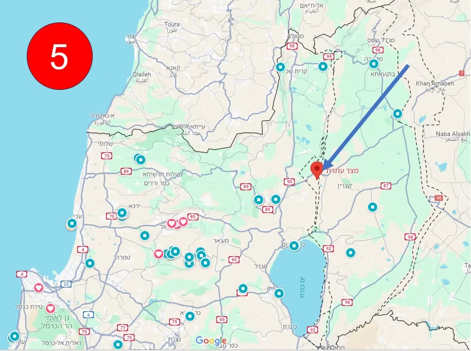
Image 5: The location of the Ateret Fortress hill on the map.
👉Join my (quiet) WhatsApp channel - Society, Culture & History:


Comments